| Menu ... |
 |
 |
|
|
|
| Our address |
|
|
33 Astronomicheskaya str.,
Tashkent, 100052, Uzbekistan
Phone: +998 71 2358102
Fax: +998 71 2344867
E-mail: info@astrin.uz
|
|
|
|
|
|

|
|
|
| International Workshop: Alpine hazard Remote Sensing and Modeling |
|
|
On June 12-13, 2023, an International Workshop was held at the Ulugh Beg Astronomical Institute of the Uzbekistan Academy of Sciences (UBAI) on the application of innovative remote sensing technologies in the studies of mountain hazards (snow avalanches, landslides, rockfalls and debris flows) and glaciers.
The workshop was held within the framework of the Agreement between the UBAI and the WSL Swiss Institute for Snow and Avalanche Research SLF to implement the UNIGE project “Snow avalanche hazard assessment in Uzbekistan applying multitemporal radar images and numerical models” and to expand cooperation in the fields of studies.
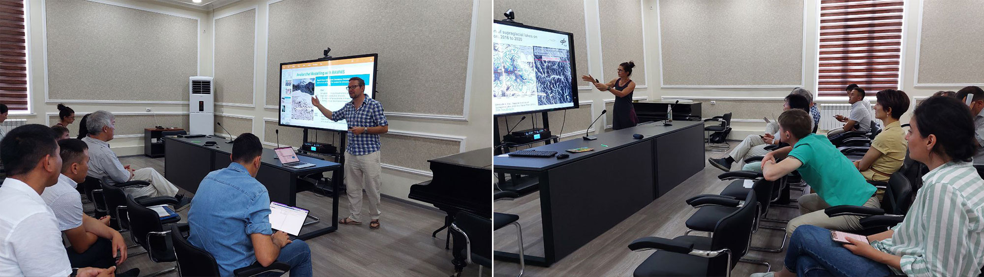
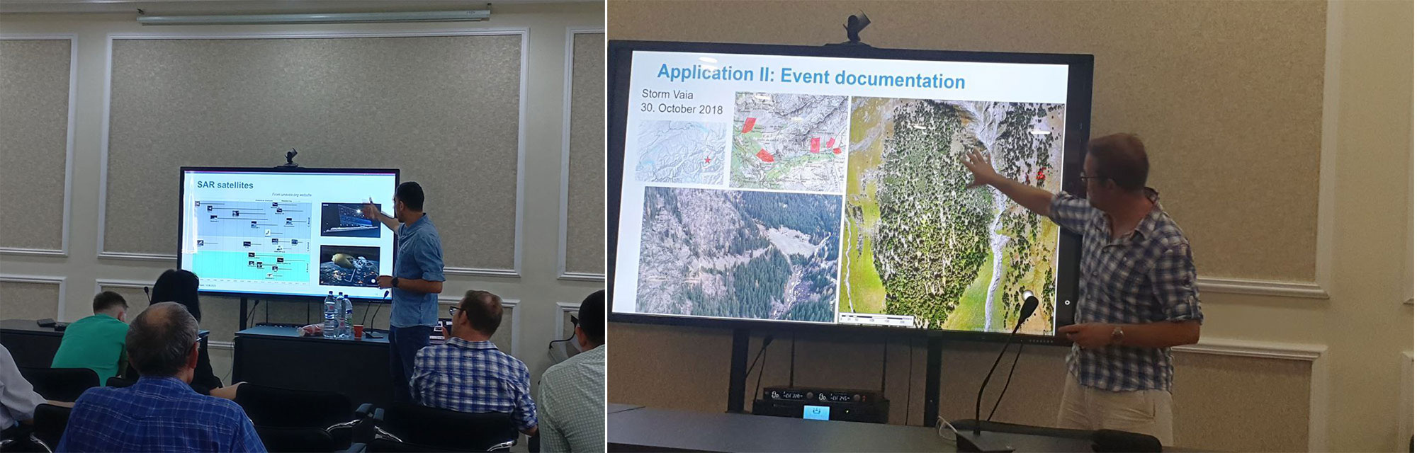
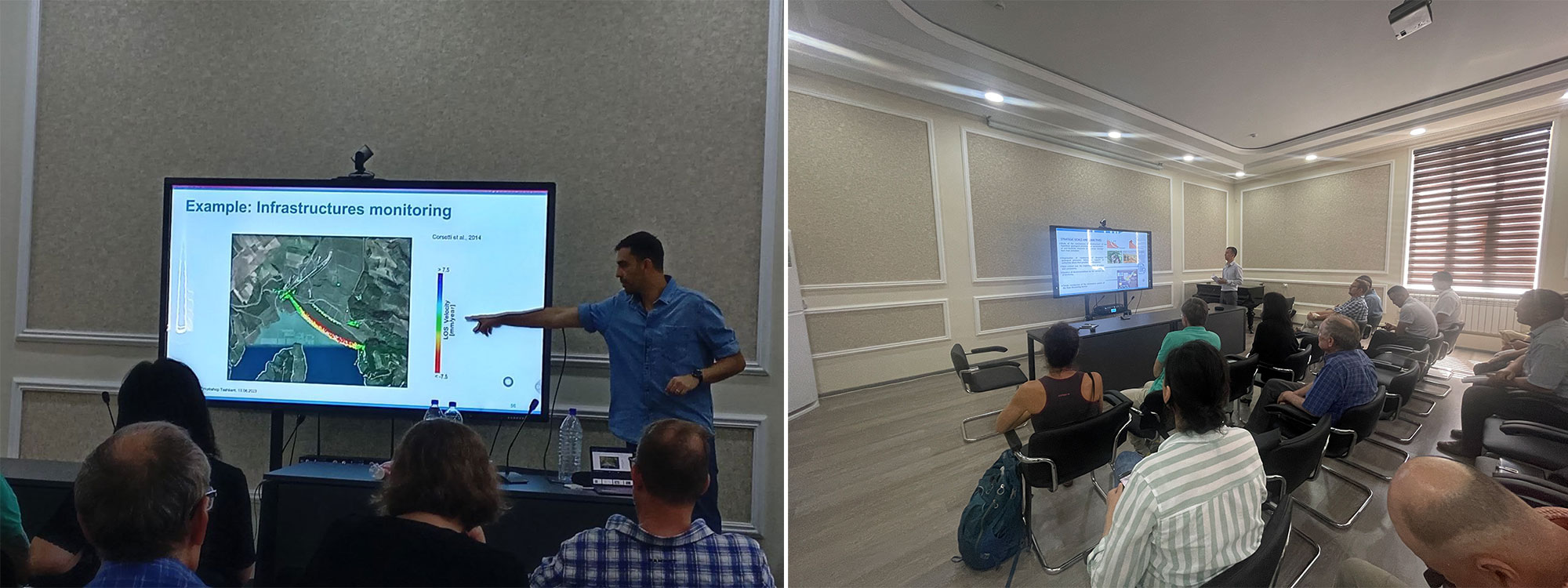
Guest speakers were Dr. Yves Bühler and Dr. Andrea Manconi, Alpine Remote Sensing: Climate Change, Extremes and Natural Hazards in Alpine Regions Research Center CERC, SLF, and Dr. Dana Floricioiu, German Aerospace Center (DLR), Earth Observation Center (EOC), Remote Sensing Technology Institute (IMF), SAR Signal Processing.
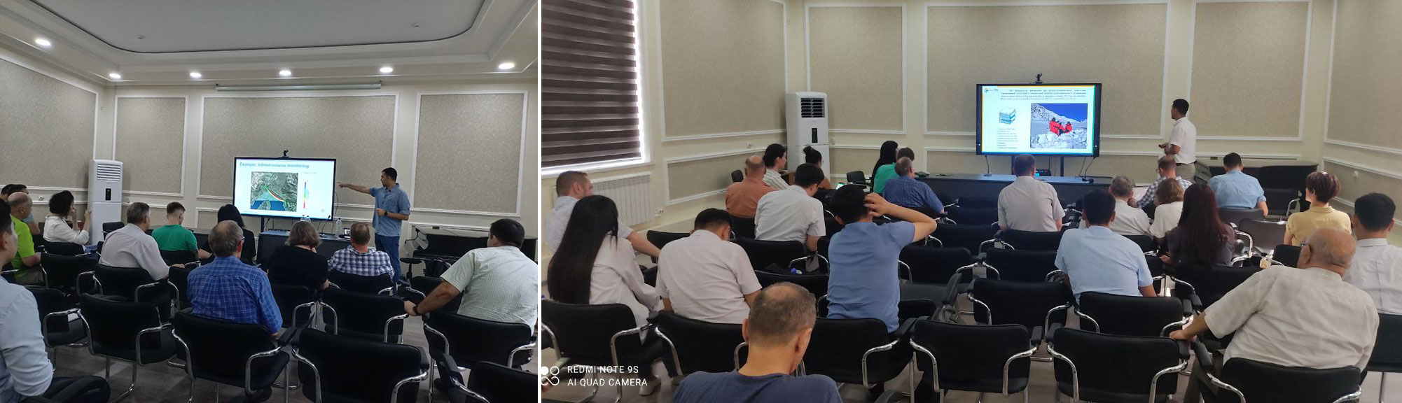
There were 30 Central Asian participants at the Workshop, including 27 representatives of interested organization located in Tashkent (research institutes, universities, the Academy of the Ministry of Emergency Situations, Uzhydromet, State monitoring service for geohazards, Uzbekkosmos space agency, “TIIAME” NRU, etc.), 2 participants from Kyrgyzstan (CAIAG and Kyrgyzhydromet) and one from Kazakhstan (CARGC, Kazakhstan).
The first day of the workshop had form of the conference, where the participants shared their experience and knowledge in this area. The presentations reflected the latest achievements of the Central Asian countries in the field of studying glaciers, snow cover, avalanches and landslides using remote sensing technologies and standard ground long-term observations.
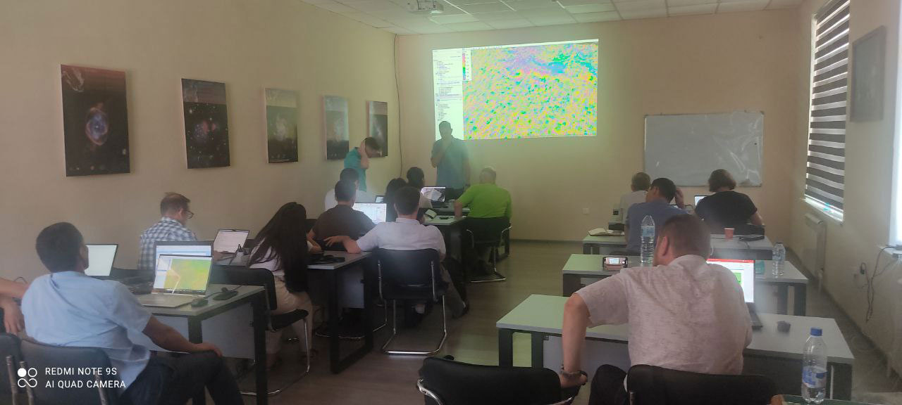
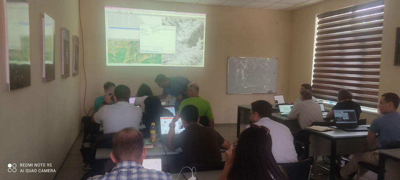
A training was conducted on the second day of the workshop. The examples of a snow avalanches identification in the Kamchik Pass area and a landslides displacement in the Angren area using Sentinel-1 SAR imagery were considered. The SLF experts provided a training material dedicated to the theoretical foundations and practical stages of sequential processing using the European Space Agency software. As a result, the participants could process satellite data according to the proposed methods and find the places with avalanches release and landslides displacement.
On June 14, a field trip was carried out to the study areas to verify results and to discuss specific observations with experts of the State monitoring service for geohazards and Uzhydromet.
The participants of the workshop acknowledged the high productivity of the organized event and the rich information content of the material presented. They expressed great interest in establishing promising cooperation between the participants and European partners, which will contribute to the achievement of new scientific results in the fields of studies and reduce a natural alpine risk, as in Uzbekistan, as well as in the whole Central Asian region.
|
|